Geology
Geological Survey
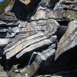
Mineral and energy resources deposits result from the interaction of several factors. There is a source, a path to the concentration area, and a geometric framework acting like a trap to preserve the resources. All this happens within a rock mass, the distribution of which reflects the geological and structural history that resulted in the deposit occurrence. In order to understand the geology, one must know the rock types present in the study area, their geometric distribution as well as the structures that affect them. The most conservative way to achieve such a result is the geological survey.
GSE offers geological survey services with a team of geologists having decades of experience in carrying out geological mapping programs both domestically and internationally. GSE provides additional services to ensure sound interpretations of the geological survey results, including Core & Cuttings Description, Microscopic Petrography, Fluid Inclusion Microthermometry, and Radiometric Age Dating.
Alteration Mapping
One fundamental aspect of mineral and energy deposit systems is the presence and movement of fluids of various compositions, at various depths and temperatures. These fluids leave a footprint on rocks in the form of mineralogy change (alteration). Therefore, alteration mapping is key to tracking the fluid pathways and understanding the geological systems responsible for mineral and energy resources concentration. It gives information about the depth, temperature, and geochemical environment in which the resources formed.
GSE offers alteration mapping services combining field mapping, remote sensing and XRD Analysis.